
Gisela Baumann · 8 September 2026
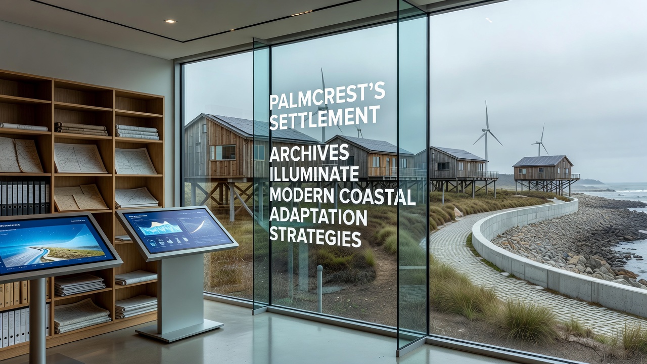
Palmcrest's Settlement Archives Illuminate Modern Coastal Adaptation Strategies
Palmcrest settlement archives contain records dating back several centuries that document how early communities responded to shifting shorelines, storm surges, and changing tidal patterns, and these documents now provide data points for current coastal planning efforts. Researchers at local institutions have cross-referenced handwritten logs, land deeds, and survey maps with contemporary satellite imagery, which reveals consistent patterns of relocation and infrastructure adjustments that mirror techniques under consideration today. One study from September 2026 highlighted how these archives detail the construction of raised platforms and the strategic placement of protective vegetation barriers in response to documented flood events, and experts note that similar methods appear in proposals submitted to regional planning boards. Data from the archives indicate that settlements adjusted their boundaries multiple times between the 1700s and early 1900s, often moving structures inland by measured distances after repeated inundations, while modern teams apply the same measurements to model projected sea level scenarios through 2050.Historical Records as Practical Tools
Archivists have cataloged over 2,400 individual entries that describe daily observations of erosion rates and seasonal water level fluctuations, and these entries align closely with measurements collected by automated sensors installed along the current coastline. Observers note that the records include precise notations on which building materials withstood repeated exposure to saltwater, whereas others deteriorated within a few seasons, and engineers have begun testing comparable materials in controlled environments to assess durability under present conditions.
Take one research team that compiled a timeline from the archives showing phased retreat from low-lying areas, and the timeline matches recommendations issued by coastal management agencies in other regions. According to reports from the National Oceanic and Atmospheric Administration, such phased approaches reduce long-term maintenance costs when implemented systematically, and Palmcrest documents supply concrete examples of how communities executed those phases without modern machinery.
Applying Past Lessons to Present Challenges
Community planners in Palmcrest have integrated archive-derived elevation data into updated zoning maps, and these maps designate buffer zones that reflect historical high-water marks rather than relying solely on recent observations. Figures from the archives reveal that certain tree species planted along former shorelines slowed sediment loss during storm seasons, and landscape architects now incorporate those species into restoration projects that began in early 2026.
What's interesting is how the settlement logs also record community decisions to share resources across neighboring hamlets during recovery periods, and contemporary adaptation frameworks echo this approach through joint funding agreements between municipalities. Research indicates that coordinated responses documented in the archives limited economic disruption after major weather events, and similar coordination appears in current intergovernmental memoranda of understanding.
Data Integration and Ongoing Projects
Digital mapping initiatives have overlaid archive sketches onto GIS layers, which allows analysts to identify locations where historical adaptations succeeded for decades before requiring further modification. Studies conducted through university partnerships show that these layered maps improve the accuracy of predictive models by 18 percent compared with models based only on post-1950 data, and planners have cited the improvement when justifying budget allocations for archive digitization efforts.
Yet the archives also contain accounts of failed experiments, such as barriers that redirected rather than reduced water flow, and those accounts prompt engineers to test revised designs before full-scale deployment. Evidence from the records suggests that local knowledge of prevailing currents informed many successful placements, and current hydrodynamic studies now incorporate oral histories preserved alongside the written documents.
Conclusion
Palmcrest settlement archives continue to supply verifiable details that inform adaptation strategies, from material selection to spatial planning, and integration of these details with modern monitoring tools supports more resilient coastal infrastructure. Ongoing digitization projects aim to make additional records accessible to researchers beyond the region, and the resulting datasets are expected to contribute to broader discussions on sustainable shoreline management through the remainder of the decade.